Reliable Survey Expertise
Years of experience in topographical, DGPS and GPS surveys, delivering quality results that help your project move forward with confidence.
Accurate Surveys Backed by
Our team has completed many successful surveys across diverse sites, giving you dependable data for planning and design.
Trusted Survey Data for
Quality topographical, DGPS and GPS surveys carried out by a skilled team that understands real site needs.

Our Services

Marvel Land Surveys provide accurate, well-processed data that gives architects, engineers and builders a cleaner path forward. Our topographical, boundary, drone, DGPS and as built surveys meet strict professional expectations so every project step rests on solid information and steady guidance.

As-built-surveys
As-Built Survey

Accurate site details that reflect the true finished work, giving you reliable records and the confidence to move forward without uncertainty.

Read more
contour-survey-services-msgeotech
Boundary with Contour Survey

Clear property limits paired with real ground levels, delivering the insight needed for safe planning, thoughtful design and successful land development.

Read more
control-point-survey-msgeotech-2048x1367
Control Point Survey

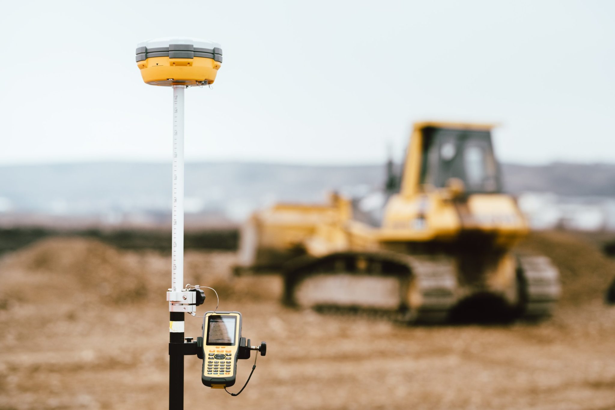
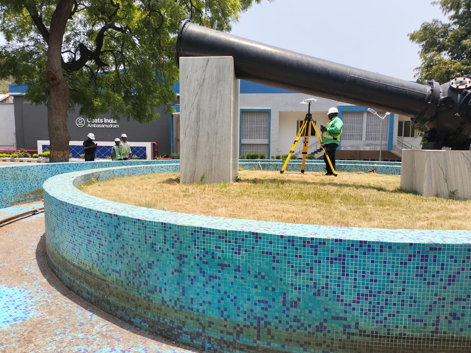
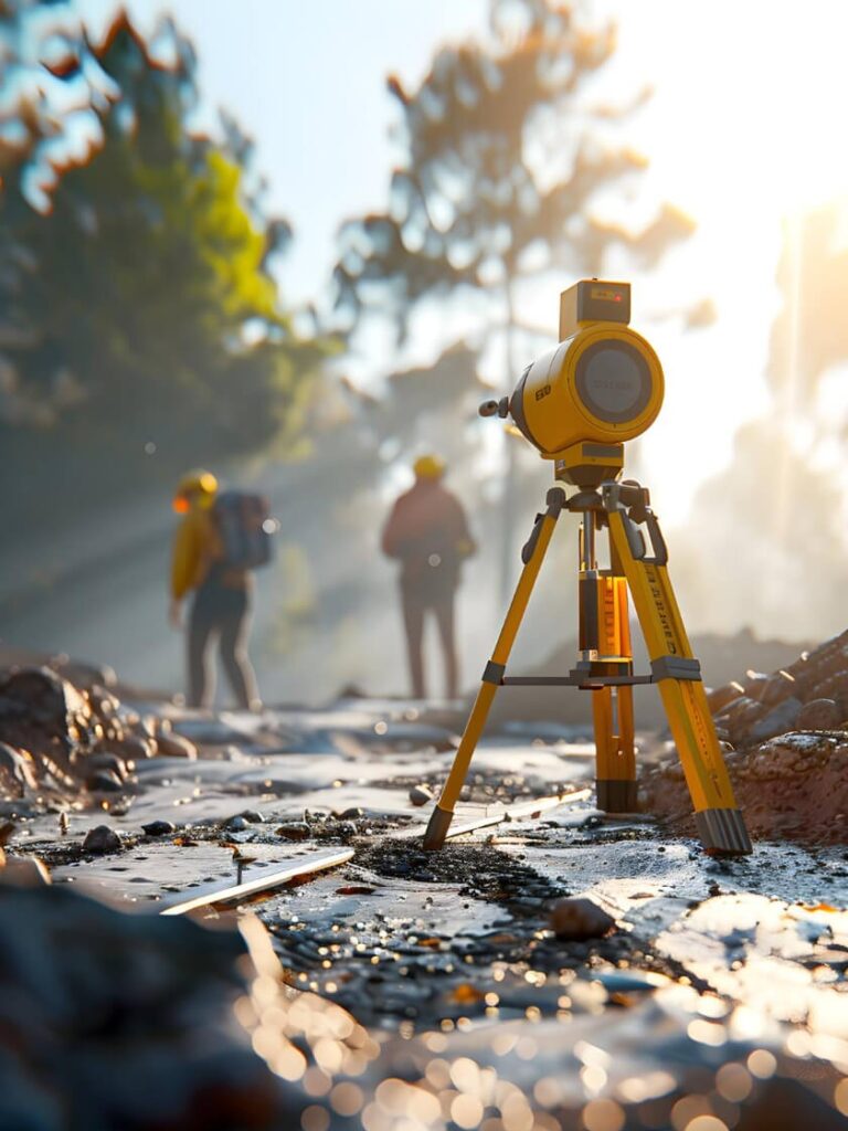
Reliable reference points that strengthen every stage of your project, giving you steady alignments, accurate measurements and a trusted base for all future surveys.

Read more
DGPS-SURVEY-MS-GEOTECH (1)
DGPS Survey

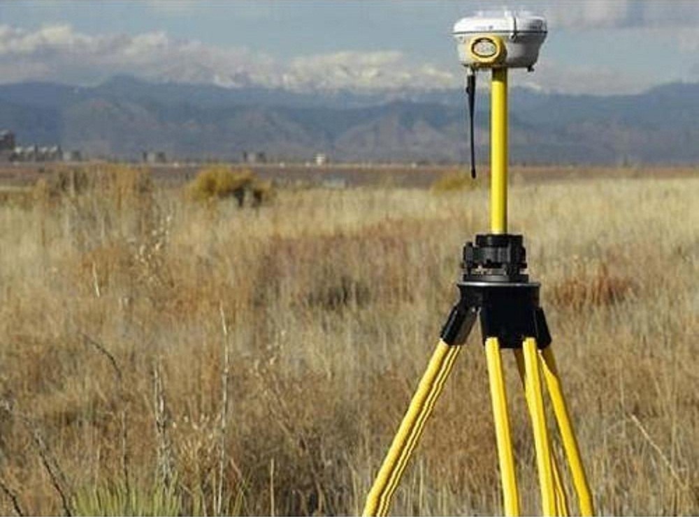
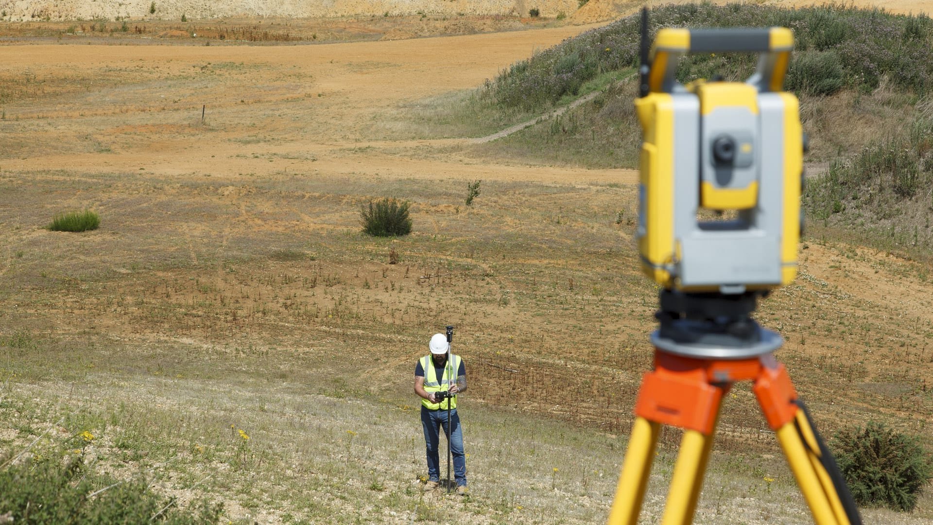
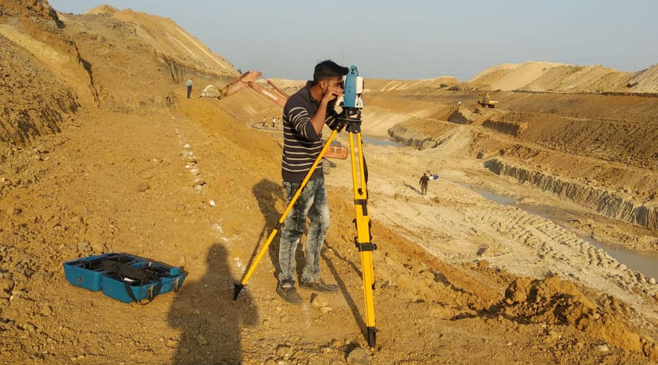
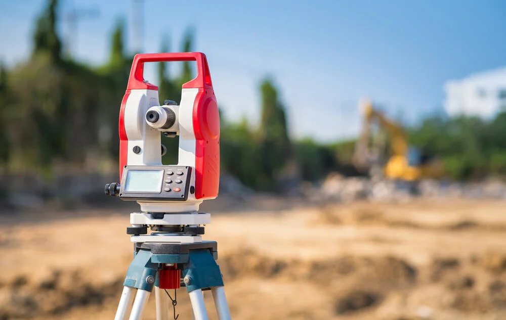
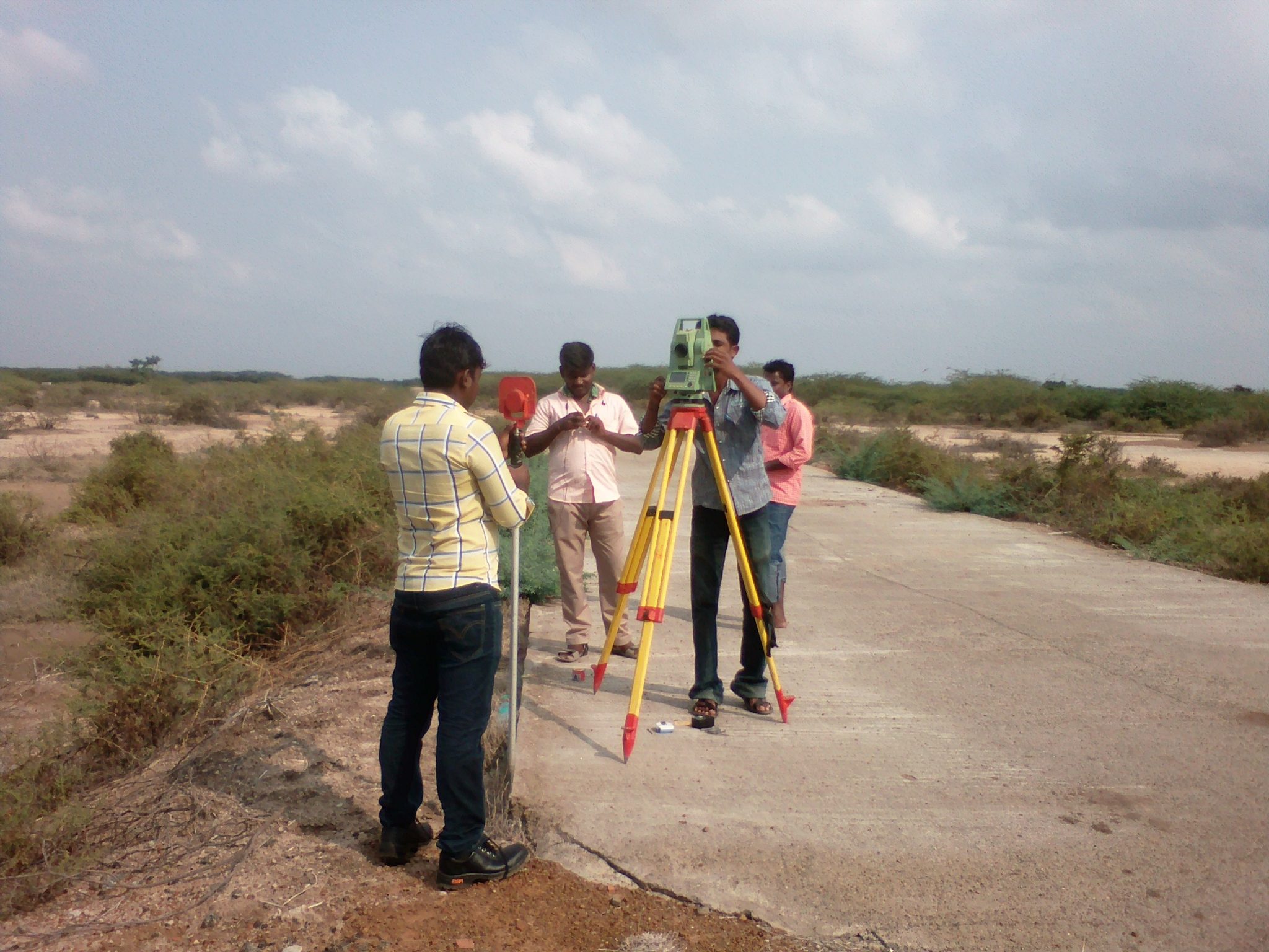
High precision positioning that supports accurate mapping, steady planning and confident decisions for projects that demand dependable location data.

Read more
DRONE-Survey-MS-GEOTECH
Drone Survey

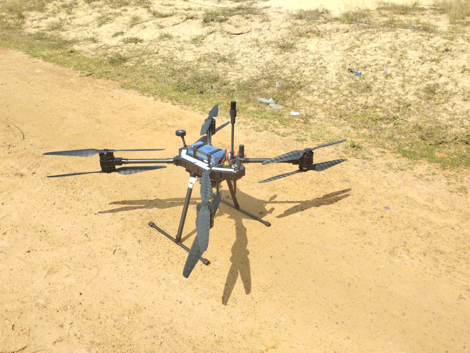
Detailed aerial data that captures true site conditions, giving you faster insights, clearer planning and confident decisions for projects of every scale.

Read more
land-survey-services-chennai-india
Land Survey

Accurate land measurements and clear site information that support safe planning, sound design and confident decisions for every type of development.

Read more
leveling-survey-chennai-india
Leveling Survey

Precise elevation data that supports safe foundations, smooth site planning and confident decisions for construction and land development projects.

Read more
lidar-mapping
Lidar Survey

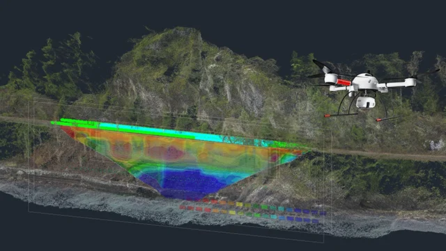
High detail 3D data that reveals true site conditions, supporting precise planning, quick decisions and confident progress on complex or large-scale projects.

Read more
pipeline-survey-service-msgeotech
Pipeline Survey

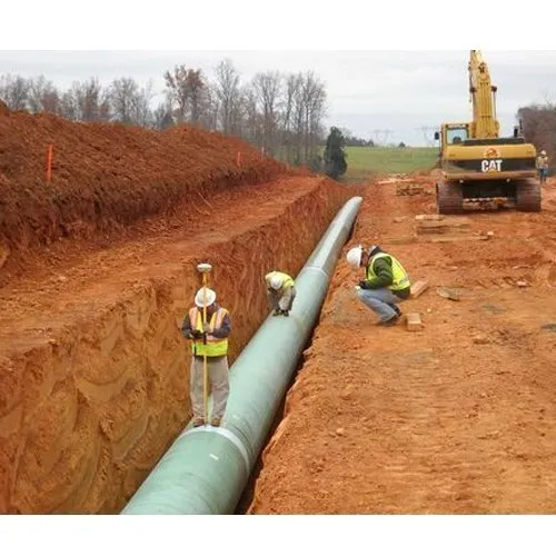
Accurate route data that supports safe planning, clear design choices and confident installation for new and existing pipeline projects.

Read more
best-land_survey-services-in-chennai
Property Survey

Precise boundary and site details that support clear ownership, safe development and confident decisions for residential, commercial and land projects.

Read more
road-survey-msgeotech
Road Survey

Accurate route and ground details that support safe road design, smooth planning and confident decisions for new projects and upgrades.

Read more
RTK-Services-in-Chennai
RTK Survey services

High precision positioning that delivers clear, reliable site data for accurate mapping, smooth planning and confident progress on demanding projects.

Read more
Setting-Out-Building-Marker
Setting Out Survey

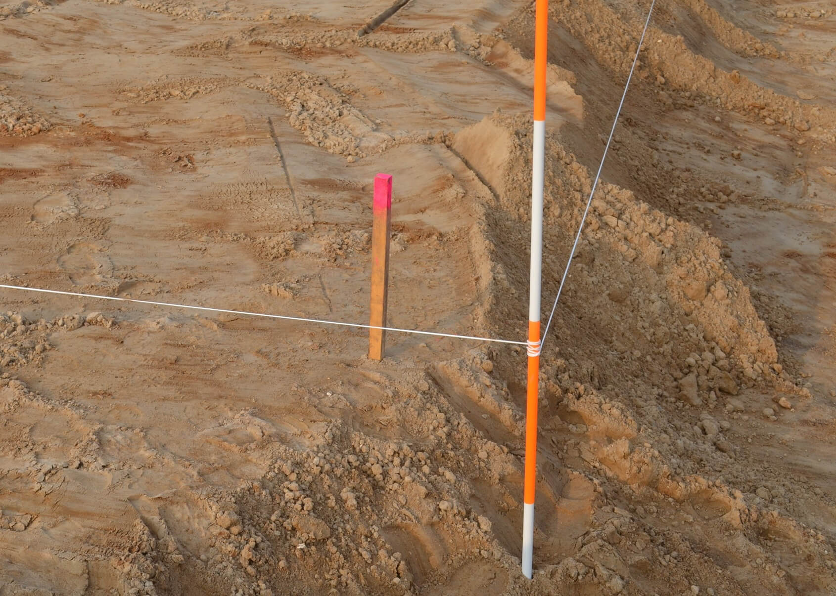
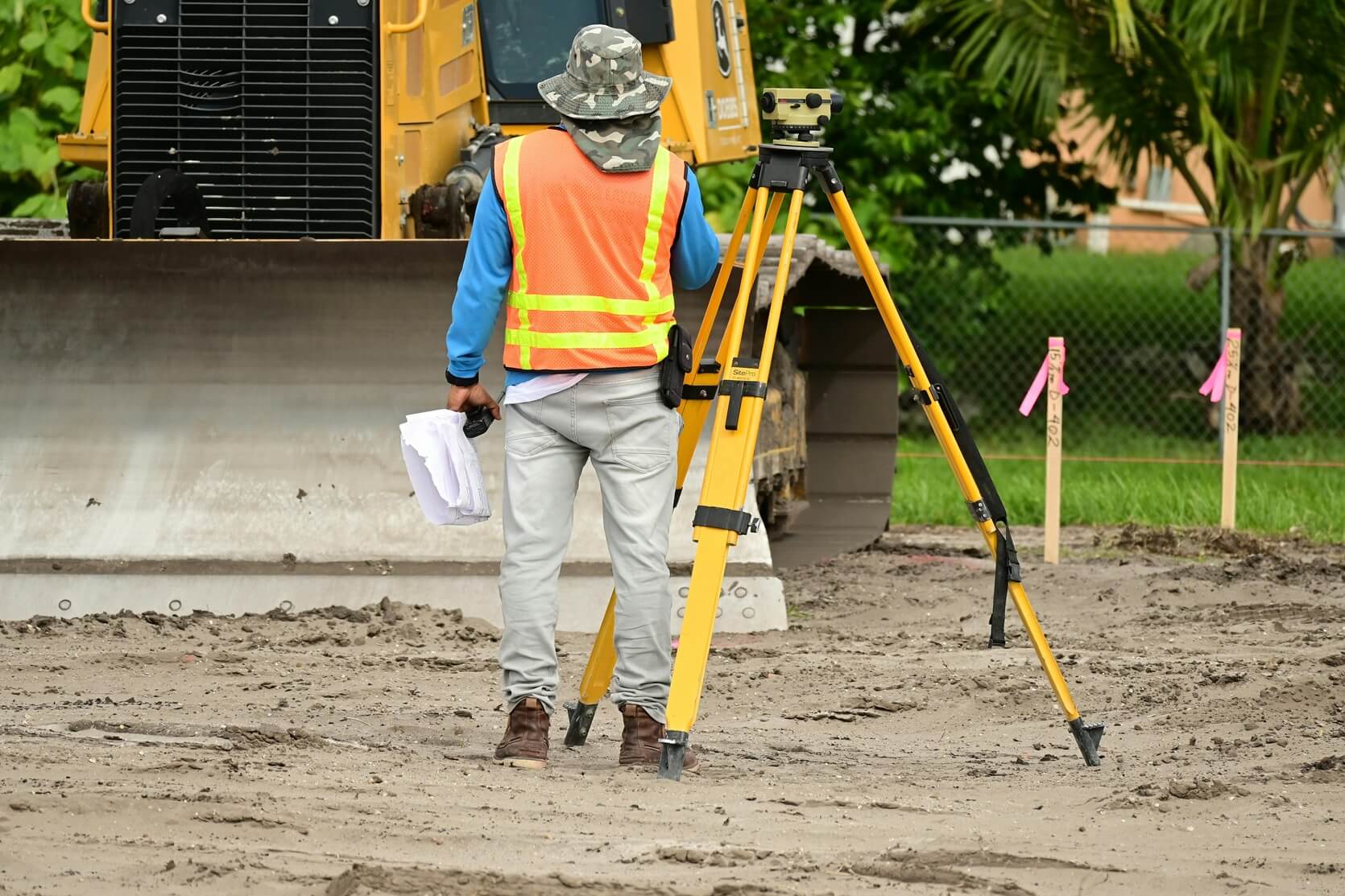
Precise on-site markings that guide accurate construction, support smooth workflow and give your project a clear, reliable start.

Read more
Topographical-Survey-in-Chennai-2048x1536
Topographical Survey

Detailed land features and elevation data that support smart planning, clear design decisions and confident development across any type of site.

Read more

About Us

Best Land Survey Provider in Chennai

Marvel Land Surveys provides accurate data and reliable guidance that help project teams cut risk and act with confidence. Our experience in field work and precise processing allows clients to plan and build on solid information. We focus on clarity, predictable delivery and honest communication so every decision is backed by data that stands up to real project demands.
 
Industrial
87%
Construction
60%
Remodeling
26%

Why Choose us

Trusted Land Surveying
Professionals

There are many variations of passages of Lorem Ipsum available, but the majority have suffered alteration in some form, by injected humour, or randomised words which don’t look even slightly believable.
 
years of service
0
Projects
0 +
Surveys
200000 +

I like more and more each day because it makes my life a lots of easier. They are the best and expertly trained team members who take the extra step and go the expert dynamic solutions to our customers fit changing global environment.I like more and more each day because it makes my life a lots of easier. They are the best and expertly trained team members who take the extra step and go the expert dynamic solutions to our customers fit changing global environment.

Name

designation

Contact Us

Have a any query?

Contact Form
How will your survey make a difference to my project?

It gives you clear, accurate site information that removes guesswork and helps your project move forward with steady confidence.

You work with a team that values accuracy, honesty and genuine care. Every survey is completed with the attention your project deserves.

Yes. We act quickly, communicate clearly and help you keep your schedule on track without added pressure.

Yes. Our reports are clean, practical and simple to understand, making it easier for architects, engineers and builders to work with them.

A survey protects your investment. It confirms boundaries, levels and site conditions so your project is built on a safe and informed foundation.

Scroll to Top